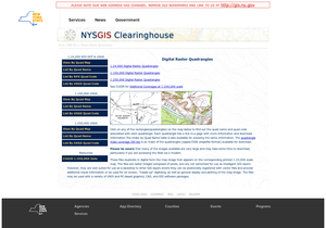
Topographic maps accessible via map, quadrangle name, USGS (U.S. Geological Survey) code or DOT (Department of Transportation) code. Includes orthoimagery.