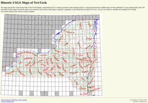
The image map showing the State of NewYork includes a grid marked off in 15 minute increments. Each rectangle points to a web page that lists the available images for this quadrangle. For any particular date, there will most often be four images because the maps were scanned as four sections. Each image is typically 2 megabytes, so download times are likely to be slow. The size was chosen to maintain an acceptable level of detail.
Grey blocks indicate areas where no map is available.